Overview
Working together to achieve sustainable ecosystems, agriculture and communities.
The Leigh Catchment Group (LCG) is a network of eight Landcare groups in the Corangamite region of South West Victoria. For over 20 years Landcare Groups in our network have been bringing all members of the community together to maintain, protect and repair the fragile environment in our landscape.In total, our network covers an area of 890 square kilometres, within the catchments of the Yarrowee and Leigh Rivers. The Leigh Catchment contains a diverse range of topograhic features from gently undulating hills, wide valleys and river flats, to steep escarpments and rocky gorges.
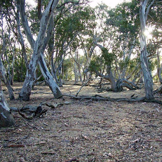
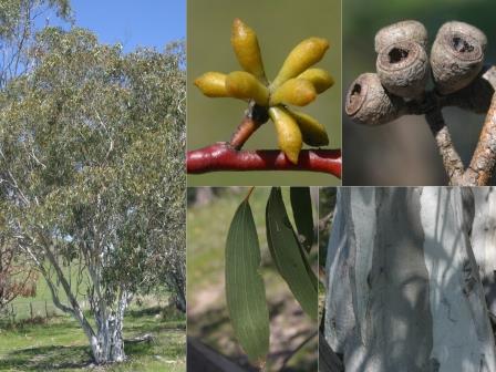
Our catchments supports areas of significant remnant native vegetation including forests, woodlands, grasslands and weltlands which provide important fauna habitat
 values.
History
Our Group formed in 1997 following recognition by the Landcare Groups of the Catchment that a combined and coordinated approach to management of the catchment would result in improved works and lead to an increase in funding for larger scale Natural Resource Management projects.
Details
The Leigh Catchment covers an area of 890 square kilometres including the Yarrowee River which becomes the Leigh River at its confluence with Williamson’s Creek. The Leigh River flows into the Barwon River at Inverleigh. The Leigh Catchment contains a diverse range of topographic features from gently undulating hills, wide valleys and river flats, to steep escarpments and rocky gorges.
The catchment supports areas of significant remnant native vegetation including forests, woodlands, grasslands and wetlands occurring on private and public land. The Leigh River supports intact corridors of riparian vegetation with important fauna habitat values. Agriculture is the predominant land use in the catchment. The urban and semi urban areas of Ballarat are also a significant component of the catchment.
What we do
- Liaise with Landcare Groups, landholders and government agencies to plan and develop projects for maximum benefit for the environment.
- Coordinate project management, including site visits, inspections, organising contractors, managing funding, monitoring success and project evaluation.
- Organise and run community days such as field days, plantings days, information sessions and school events.
- Advertise and promote our activities and events through the Leighway newsletter, Victorian Landcare magazine, local papers, various magazines and Leigh Catchment website
- Liaise with corporate partners for feedback and reporting.
- Provide support and advise to local Landcare Groups and Landholders.